Introduction
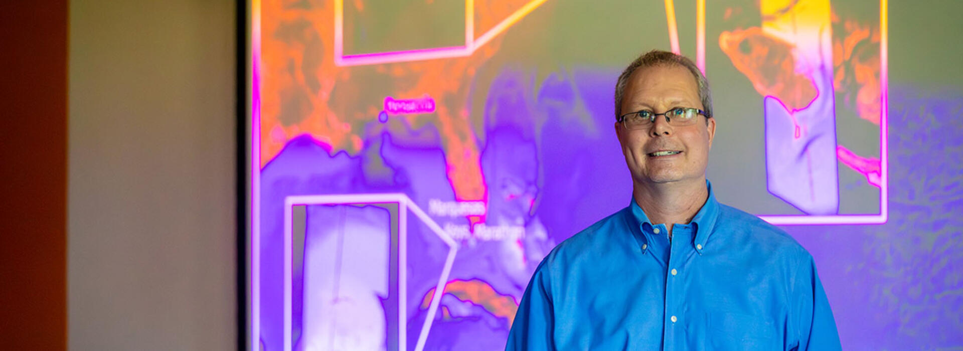
How deep is the ocean, and how do we know? As long as humans have traveled by sea, it has been in our interest to understand and map the sandbars that could trap a boat at low tide or the rocky outcrops to avoid in a storm. The Egyptians used poles to measure water depth almost 2,000 years ago. For centuries, the state-of-the-art technology was a weight on a rope. Today, Chris Parrish, professor of geomatics and director of Oregon State’s Geospatial Center for the Arctic and Pacific, looks at water depths around the world from his desk, thanks to a satellite circling 300 miles above the Earth.
It’s often said that the deep sea is less understood than the surface of the moon, but after millennia of measurement, one might assume that humans have a decent understanding of our nearshore waters. Not so fast, says Parrish.
“It surprises people that it's actually some of the shallow water areas where we have the least information,” he said. “Even here in the U.S., especially up in the U.S. Arctic, there are areas where the most recent data might be from the early 1900s when ships were lowering a line with a lead on it into the water.”
Repurposing NASA’s ICESat-2 satellite to measure water depth
Parrish and his students, along with colleagues at NASA and the University of Texas-Austin, are working to turn this patchwork of measurements into a more consistent global system, using a NASA satellite that wasn’t originally meant to measure water depth at all. ICESat-2, short for Ice, Cloud, and Land Elevation Satellite 2, launched in 2018, bearing a photon-counting lidar system, called the Advanced Topographic Laser Altimeter System (ATLAS). Though it was originally planned as a tool to measure glaciers and sea ice, it became clear well before launch that the green wavelength of light that ATLAS beams earthward could also provide highly detailed data on nearshore water depth.
professor of geomatics
Blue Primary, Yellow Secondary
“For a while, NASA was going back and forth on whether it was going to be green, or near infrared,” Parrish said. Near-infrared would have meant no usable bathymetry data. “I got a call from NASA, that they had decided to go with a green wavelength. I literally did a dance for joy that day.”
ICESat-2 is a game-changer for bathymetry because of its global reach and its ability to take measurements at the same location about every 3 months. In the past, researchers could plan for months to visit a remote coastal area, only to have their measurements disrupted by bad weather or other complications, including murky water. With ICESat-2’s repeated measurements, there is a higher chance of catching at least one or two calm days, and in places with more reliable weather and water clarity, the repetition allows for comparison to show changes over time. Parrish and colleagues recently published a paper in Earth and Space Science showcasing the results of their first machine-learning-assisted processing of the ICESat-2 archive, providing bathymetric measurements from approximately 0.5 to 21.5 meters in depth across 13.7 million kilometers of coastal waters.
Training future geomatic engineers
Two of Parrish’s students getting valuable experience with ICESat-2 data are Heather Maran and Owusuah Osei-Kwakye, both students of the revamped geomatics program, which is one of the most respected in the nation. Maran is studying water clarity data from around the world to create a tool to help researchers plan their research. Osei-Kwakye is also looking at models of turbidity and water clarity, with the goal of understanding which are best at predicting how far offshore the satellite’s data can deliver accurate measurements.
Those projects, and many others in the geomatics program, give students like Maran and Osei-Kwakye a leg up in a complex job market. “Our undergraduate and graduate students are all coming out with multiple job offers at the time of graduation,” Parrish said.
While geomatics is currently a minor at OSU, Parrish and colleagues are working on building a major to further develop these highly sought-after skills. In addition to imparting these skills to his students, Parrish also leads trainings for other researchers on using ICESat-2’s treasure trove of data. The latest of these trainings was in December 2025 and is available on YouTube.