
Introduction
One spring morning in the Willamette Valley, a group of 20 geomatics engineering students from Oregon State University fanned out through the McDonald-Dunn Forest, hunting for a tree that was marked over 150 years ago.
They were looking for evidence of the Public Land Survey System, which in Oregon was a 19th-century effort to subdivide lands following European settlement. Surveyors would create official PLSS corner monuments — a physical marker to establish property boundaries. These markers were often crude: a pile of rocks, a metal axle from a wagon, or a tree they would scribe — if the corner happened to fall where one grew. Many monuments have been destroyed or lost over time.
Because every property boundary, every deed, every real estate transaction in the region traces back to this network of corners, restoring them also restores the invisible divide where one person’s land ends and another’s begins.
Decoding the past
The corner restoration effort was part of a two-day workshop — the second of its kind — that connected students with seasoned surveyors, an increasingly urgent endeavor. The average age of a surveyor in Oregon is between 57 and 60, and as they retire, real-world experiences like this one ensure critical knowledge endures.
College of Engineering Instructor Brett Murphy and Jim and Billie Plasker Faculty Fellow in Geomatics and Assistant Professor of Practice Chase Simpson served as the workshop organizers and described the experience as detective work. "It's like forensics," Murphy said. "When students start uncovering evidence, and it becomes more and more likely that what they're finding is real, it's genuinely exciting."
The initial forensic work began with deciphering the handwritten notes from the 19th-century surveyors, annotating their mapping efforts. “It’s a challenge to interpret those notes because they were writing in old cursive,” Simpson said. “The students and professionals were both passionately trying to figure it out.”
Back to basics
With notes in hand, students spent the second day retracing the steps of the original surveyors in hopes of finding a monument tree — a challenge without the usual buildings and street signs to help orient.
In contrast to the billion-dollar satellites, lidar-equipped drones, and state-of-the-art software that modern-day geomatics professionals typically employ, the tools for this expedition were deliberately traditional — machetes to clear brush, compasses to navigate, measuring tapes and plumb bobs to map the area. Students had to account for the imprecision of 19th-century instruments and the gradual shift in magnetic north since the original surveys.
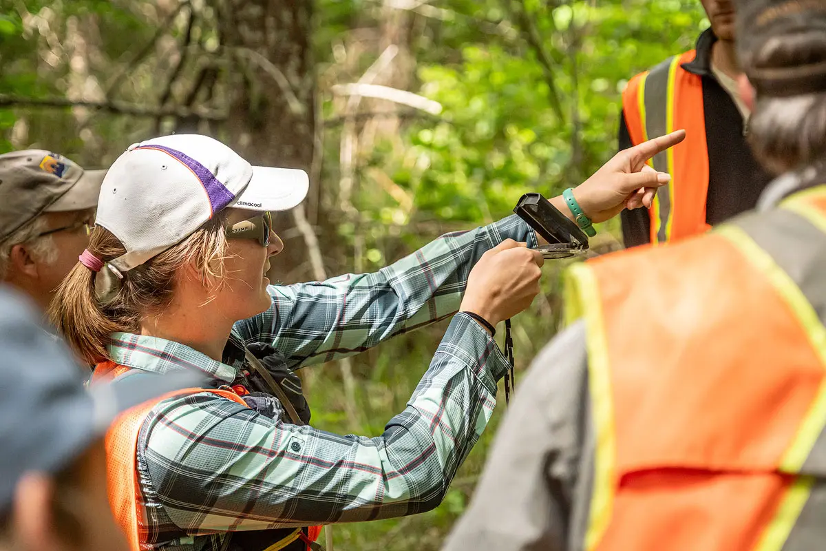
Photo courtesy of Brett Murphy.
Further complicating things, the Willamette Valley in the 1850s looked nothing like it does today. The ancestral inhabitants of the valley, the Kalapuya, had long managed the land through prescribed burning, creating open oak savannas rather than dense forest in certain areas.
As Murphy explains, “We knew that certain types of trees are best for scribing — like Douglas-firs, because they're so sappy. But we looked around and all the Doug-firs were only 10 or 12 inches wide, meaning they weren't 150 years old.”
Mentors in the field
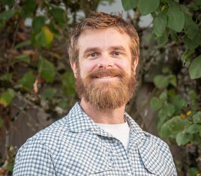
Benton County surveyor and workshop participant
Blue Primary, Yellow Secondary
With some persistence, students successfully recovered original markings from the 1850s in a giant oak stump, along with a later marking from the 1930s buried deep inside a living oak. They also identified and scribed new bearing trees and established additional reference monuments to help future surveyors locate the corner.
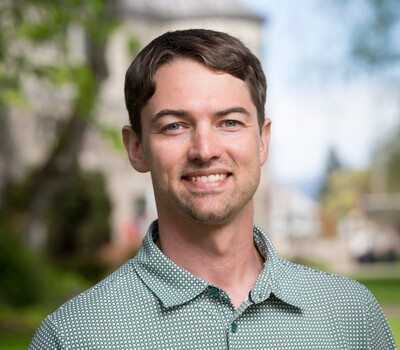
Josh Herzberg, the Polk County survey crew chief, and Dave Malone (B.S. Civil Engineering, minor in mapping and surveying 1994), the Benton County surveyor, were among the participating professionals. For both, the workshop was less about instruction than inspiration.
"Surveying is not this dry, dusty process of watching coordinates roll by on a screen. It's a career where you can use your mind in the field, in an environment you really enjoy,” Herzberg said.
Malone agrees: “Modern surveying has changed so much in the last 40 years. With technologies like GPS satellites, ways to measure underwater, and aerial drones, it’s about using your brain power to problem solve and interpret measurements. You don’t need to be stuck behind a desk and do the same thing every day.”
What the forest teaches
Participating student Alec Hankins had a particularly meaningful experience: his father joined him for the workshop. For him, the biggest lesson was the importance of keeping detailed surveyor notes. "Documenting things is very important because someone may need to later retrace your steps," he said. "You need to show how and why you did what you did."
Hankins was among the 2,160 College of Engineering students who graduated in June 2026. He has accepted a position with PLS Engineering, a civil engineering and surveying firm based in Vancouver, Washington.
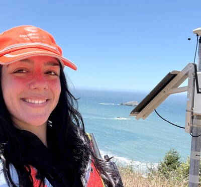
For junior Ava Jaskoski, seeing the surveying field through the eyes of professionals gave her a new appreciation. "They were incredible," she said. "They were able to point out things that we didn't notice. They had an eye for it, a kind of engineering instinct."