Geomatics Engineering
Learn the skills to navigate an exciting career
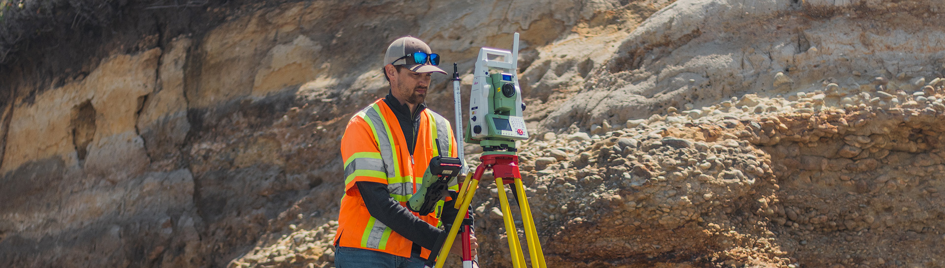
Geomatics engineering integrates elements of surveying, mapping, and remote sensing technologies to collect, process, and interpret spatial information about the Earth in precise detail.
Oregon State geomatics researchers develop many tools for industry, government, and the public. For example, O-HELP, provides instantaneous analyses of the impact of a major earthquake anywhere in Oregon. Other technology developed here allows engineers to assess landslide risk and erosion along the Oregon coast.
Students who complete Oregon State’s geomatics curriculum acquire a powerful combination of technical expertise and practical, experiential knowledge that many employers seek.
Degree Types
Locations
Corvallis
Our Faculty
Explore our faculty's expertise and research.
Contact our industry relations team to discuss partnerships and other opportunities.
Research Areas
Our geomatics expertise supports construction, enhances transportation safety, and assesses earthquake risks, making us a go-to resource for government and industry.
Geotechnical
Engineering the interface between the natural and built environments
Construction
Design and construction of infrastructure projects
Geomatics
Research and education in geomatics for civil engineering and other fields

A leader in geomatics research and education

Assessing earthquake hazards and more
We have developed tools that improve understanding of earthquakes, coastal erosion, transportation efficiency and safety, and more.
- Identifying coastal highway risks: erosion, landslides, storm surge, sea level rise
- Ensuring ADA-compliant curb ramps for safe access for people with disabilities
- Using lidar, our researchers create models that transform built environment management
- Using lidar to update nautical charts in areas too shallow for safe boat operation


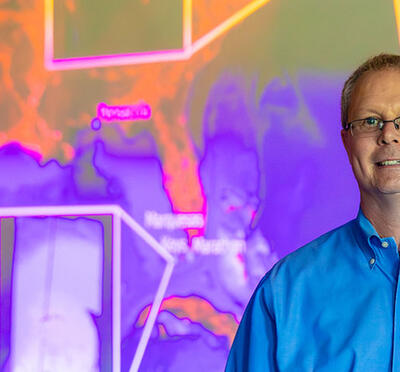
Modernizing geospatial infrastructure
Chris Parrish leads ambitious project to modernize and improve NOAA's National Spatial Reference System.
Program Details
Degree Types
Locations
Corvallis
Our Faculty
Explore our faculty's expertise and research.
Get in Touch
Partnerships
Contact our industry relations team to discuss partnerships and other opportunities.


Related Stories