


Christopher Parrish
Civil & Construction Engineering
305 Owen Hall
Corvallis, OR 97331
United States
About
Biography
Christopher Parrish is a professor of geomatics and director of the Geospatial Center for the Arctic and Pacific (GCAP). Prior to joining OSU, he held the position of lead physical scientist in the Remote Sensing Division of NOAA's National Geodetic Survey. He has held numerous leadership roles in professional organizations and working groups, including chair of the Bathymetry Working Group of the NASA ICESat-2 Science Team, co-lead for ATL24, the ICESat-2 coastal and nearshore global bathymetric data product, past president of the American Society for Photogrammetry and Remote Sensing (ASPRS), and academic representative to the National Society of Professional Surveyors (NSPS)/The Hydrographic Society of America (THSOA) Hydrographer Certification Board. He also serves as an affiliate faculty member in the Center for Coastal and Ocean Mapping - Joint Hydrographic Center (CCOM-JHC) at the University of New Hampshire. Chris holds a Ph.D. in civil engineering with an emphasis in geospatial information engineering from the University of Wisconsin-Madison, an M.S. in civil and coastal engineering with an emphasis in geomatics from the University of Florida, and a B.S. in physics from Bates College.
Degrees
Awards/Accolades
Documents
Research
Research Interests
Research Groups
Research Website
Labs
Publications
Recent Related Stories
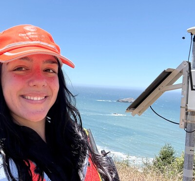
Mapping the seafloor from the sky
When graduate student Heather Maran looks at Oregon's coastline, she sees more than…
Measuring the nearshore from high above
How deep is the ocean, and how do we know? As long as humans have traveled by sea, it…
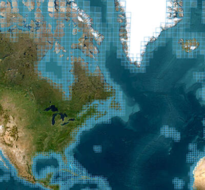
Oregon State researchers assist NOAA with rapid response to marine hazards
Oregon State University researchers recently assisted the National Oceanic and Atmospheric Administration’s National Geodetic Survey in responding…