
Introduction
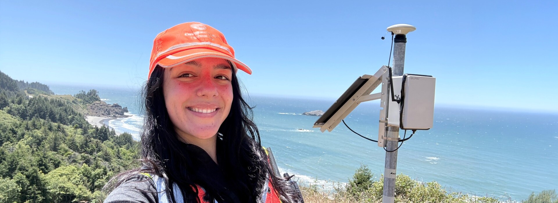
When graduate student Heather Maran looks at Oregon's coastline, she sees more than ribbons of surf and sand. Using advanced coastal mapping technology, she analyzes maps of the shoreline and seafloor in extraordinary detail, generating insights that can help surveyors collect better data and ultimately support communities preparing for natural hazards.
The resulting data from Maran’s work provides a clearer understanding of coastal conditions and helps decision-makers, including emergency planners, better understand flood and erosion risks, and make more informed decisions that support community resilience.
Maran did not set out to become an expert in geomatics, the practice of measuring and mapping the world. While studying geology and oceanography as an undergraduate at the University of Washington, she was searching for a way to combine her interests when an internship with the Washington State Department of Ecology introduced her to long-term coastal monitoring and the challenges facing vulnerable coastal communities.
“I had no idea what geomatics was,” Maran said. “I was looking broadly at coastal research opportunities, but when I read about lidar, coastal monitoring, and hazards, I thought, this is something I could really dive into.”
Charting a path in geomatics
Today, Maran is pursuing a master's degree in civil engineering at Oregon State University, where she is researching ways to improve coastal mapping. Her work focuses on airborne bathymetric lidar, a technology capable of mapping both land and shallow underwater environments at exceptionally high resolution.
Maran is studying how water clarity affects the quality of lidar data collected beneath the ocean's surface. Understanding those relationships could help survey teams identify the best conditions for data collection and avoid costly flights that fail to produce usable results.
“Having access to this high-resolution, high-accuracy data could help inform coastal management and decision-making,” Maran said. “It would help determine what is needed for long-term, sustainable solutions for coastal hazard mitigation and planning.”
The program's hands-on approach has given Maran opportunities to work with cutting-edge technologies, including drones, surveying equipment, and lidar systems, while contributing to projects in coastal monitoring, historic preservation, and other interdisciplinary fields.
“It's exposed me to a lot of different areas of geomatics research that I might not have considered otherwise,” Maran said.
M.S. civil engineering ’27
Blue Primary, Yellow Secondary
Building skills and connections
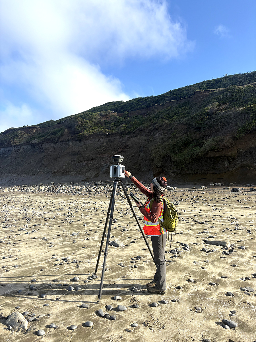
Outside the classroom, Maran has embraced opportunities to build professional connections and develop leadership skills. She has attended conferences across the country, presented her research on coastal bluff erosion monitoring, and now serves as president of OSU's student chapter of the American Society for Photogrammetry and Remote Sensing.
“I was fortunate enough to attend the 24th Annual Coastal Mapping and Charting Community of Practice Meeting where I met representatives from all the major aerial bathymetric lidar companies in the country,” Maran said. “Many of the representatives told me to reach out in a year when I graduate for job opportunities — I am making my research and dreams a reality!”
Mentorship and opportunity
One of the most influential aspects of Maran's graduate experience has been working with faculty advisors Michael Olsen, CH2M Hill Professor of Geomatics, and Christopher Parrish, professor of geomatics and director of Oregon State's Geospatial Center for the Arctic and Pacific.
“They began with, ‘What do you want to do?’” Maran said. “They focused on understanding my goals and helping shape opportunities around my interests.”
That individualized approach has influenced her coursework, research opportunities, and professional network.
“I didn't expect graduate school to be tailored to my interests,” Maran said. “The program is focused on student success.”
Advancing coastal resilience
As Maran looks toward the future, she sees growing opportunities to make coastal monitoring more accessible and useful for the communities that depend on it.
“We will be able to provide communities with tools and platforms that help them make decisions quickly, with data at their fingertips,” Maran said. “It's inspiring.”
As Oregon's coastline continues to evolve, Maran hopes her work will provide the data and insight communities need to improve safety, strengthen resilience, and prepare for what lies ahead.