Introduction
When a major earthquake occurs, such as the predicted event along the Cascadia Subduction Zone off the Pacific Northwest coast, aging infrastructure will pose significant challenges to lifeline providers, including power utilities, transportation departments, water utilities, fuel providers, and ports. Lifeline providers in the region are working to develop preparedness and emergency response plans, but cost estimates reach into the billions and they are forced to make hard decisions about how to prioritize competing concerns and allocate limited resources.
To address the challenge, Scott Ashford, Kearney Professor and dean of the College of Engineering, initiated the Cascadia Lifelines Program at Oregon State University. The program is intended to help organizations pool their resources, capitalize on the university’s earthquake research expertise, and find solutions that will improve infrastructure performance in a severe natural disaster.
“This program was created to work toward improving our critical infrastructure by bringing together leaders in the industry,” said Ashford. “Our partners drive the inititative-funded research to suit their needs, which ensures that it is timely and relevant.”
Researchers in the College of Engineering are collaborating across multiple disciplines to strengthen lifelines and create more resilient communities. Current research primarily addresses soil liquefaction, which can lead to failure of roads, bridges, buildings, and other critical structures; landslide prediction and mitigation; cost-effective improvements to existing infrastructure; evacuation routes; and tools to plan for hazards and anticipate risks.
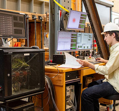
Funding from the Cascadia Lifelines Program members led to the creation of O-HELP (Oregon Hazard Explorer for Lifelines Program), a web interface that uses Geographic Information Systems technology to help engineers from various disciplines acquire the most recent seismic data available to assess earthquake hazards in Oregon. It produces information related to potential ground shaking, liquefaction, lateral spreading, landsliding, and tsunami effects. Users can target a specific site, neighboring areas, connected infrastructure, and networks.
“O-HELP has provided important data to help members analyze vulnerabilities in their infrastructure and network,” said Michael Olsen, associate professor of geomatics engineering. “They can use the data to identify their most at-risk infrastructure and help them develop the most economical solutions within limited resources.”
Although O-HELP was designed primarily as a tool for engineers to produce site analyses, homeowners and the general public can use it, too. About 100 visitors per day are currently using the site, according to Olsen.
The liquefaction potential of soil displayed in O-HELP is the result of initial research from another Cascadia Lifelines Program project led by Ben Mason, assistant professor of geotechnical engineering. Mason and his colleagues aim to perform a comprehensive seismic analysis of Willamette Valley silts through the collection of historical data, in-situ soil samples, and laboratory testing. Their work will ultimately help retrofit existing infrastructure and develop better design guidelines for new infrastructure.
“This information is crucial to improve the seismic resilience of Oregon,” said Mason.
Three other civil engineering faculty members — Professors Christopher Higgins and Burkan Isgor, and Assistant Professor Jason Ideker — are investigating how power transmission structures, such as utility poles, will perform in an earthquake. Traditionally, the worst-case disaster scenario that these types of structures are designed to withstand is severe wind. With the abundance of power transmission structures in the region, the project should provide direct benefits to many lifeline providers.
Current Cascadia Lifelines Program members include the Bonneville Power Administration, Northwest Natural Gas, Oregon Department of Transportation, Port of Portland, Portland General Electric, Eugene Water and Electric Board, Portland Water Bureau, and Tualatin Valley Water District. The Pacific Earthquake Engineering Research Center is a collaborator with the program.
“This consortium is helping members understand their vulnerabilities to large seismic events,” said Dan Cox, director of the Cascadia Lifelines Program. “By having a variety of members at the table, they can contribute to each others’ projects and ultimately help us understand the interdependencies between, for example, a utility and the transportation network. Also, having a well-established network allows us to connect members with similar areas of expertise. It’s a great mechanism for bringing different entities, who are ultimately connected, together.”