Michael Olsen
School of Civil & Const Eng
313 Owen Hall
Corvallis, OR
United States
Michael Olsen is the CH2M Hill Professor of Geomatics in the School of Civil and Construction Engineering at Oregon State University. He obtained BS and MS degrees in Civil Engineering from the University of Utah and a Ph.D. in Structural Engineering from the University of California, San Diego. Olsen serves as the Technical Director for the NSF Natural Hazards Engineering Research Infrastructure (NHERI) RAPID Facility, the Director of the Cascadia Lifelines Program (CLiP), a member of the Partnership and Applications committee of the Cascadia Region Earthquake Science Center (CRESCENT), an Associate Editor of the ASCE Journal of Surveying Engineering, the Past-President of the Surveying and Geomatics Educators Society (SaGES), and a co-founder and CEO of a tech transfer spinout company, EZDataMD, LLC.
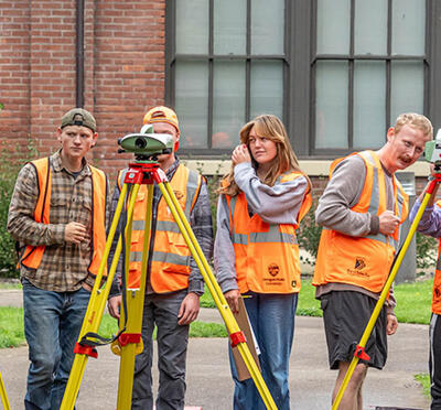
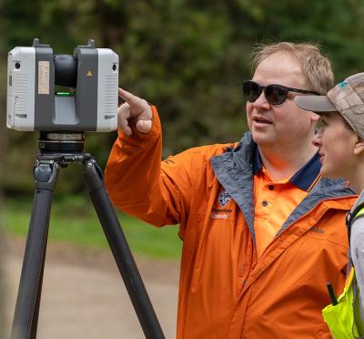
Dr. Olsen’s research focuses on the collaborative application of geospatial technologies to natural hazards as well as infrastructure monitoring and management. He teaches geomatics engineering courses at OSU where he has developed new, ground-breaking courses in 3D laser scanning, Digital Terrain Modeling, and Building Information Modeling. Example projects he has been involved with include: development of mobile laser scanning guidelines for DOTs; development of advanced point cloud segmentation, classification, registration, and modeling algorithms; landslide, rockfall, and slope stability analysis; sea cliff erosion; liquefaction hazard mapping; modeling and studying historical buildings; and 3D documentation of infrastructure performance through post-earthquake reconnaissance.
Related Podcasts


