Introduction
Oregon State researchers, led by Yelda Turkan, assistant professor of civil and construction engineering, are using deep learning algorithms to discover better, faster way for architects and engineers to design, construct and manage buildings.
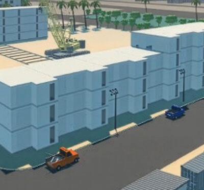
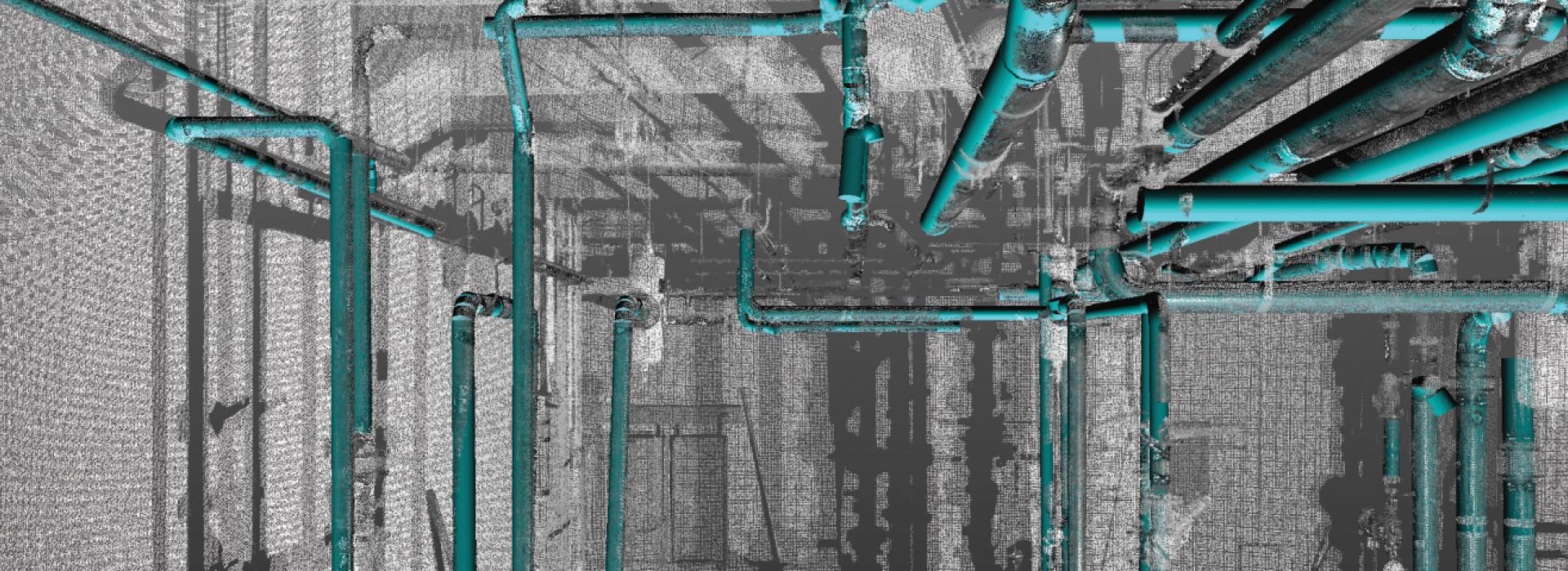
Turkan and her colleagues in construction, geomatics, and computer science have been developing building information models, or BIMs, from lidar data. Lidar, short for light detection and ranging, is a remote sensing method that collects detailed 3D measurements of the built environment. But it is prohibitively expensive to manually convert that data into useful, digital information models.
“Our team is turning lidar data into BIMs by automating the tedious and time-consuming manual work required to develop and maintain a BIM,” said Yelda Turkan, the project’s lead principal investigator. “We are doing this with deep learning algorithms to process the lidar data. Modelers – the people who convert lidar data into BIMs – will be able to model buildings within hours instead of weeks and thus transform how the built environment is managed and maintained.”
BIMs are used to create and document building and infrastructure designs. Each detail of a building comprises a model used to explore design options and to create visualizations that help people understand what a building will look like before it’s constructed. The model is also used to generate the design documentation needed for the construction process.
BIMs are also used for managing existing buildings, facilities, and infrastructure. This can be more challenging than using BIM for design because what exists in the real world, including imperfections, must be captured and modeled.
The team’s AI-based algorithms automatically segment, classify, and extract real-world features to create intelligent models for building design, energy management, renovation, and emergency planning.
The end product of the OSU team’s work will be a combination of a database and a deep learning framework that accelerates the creation of BIMs from lidar data, Turkan said.
The project is part of a National Science Foundation effort called the Convergence Accelerator program that seeks to drive transformative research in artificial intelligence and quantum technology. Following a successful phase one development period, NSF has awarded Turkan and her collaborators a two-year phase two grant worth $5 million to continue the work. College of Engineering collaborators include Rakesh Bobba, associate professor of electrical engineering, Fuxin Li, associate professor of computer science, and Mike Olsen, professor of geomatics.