
Geomatics

Master the skills to navigate an exciting career
Geomatics engineering integrates elements of surveying, mapping, and remote sensing technologies to collect, process, and interpret spatial information about the Earth in precise detail.
Oregon State geomatics researchers develop many tools for industry, government, and the public. For example, O-HELP provides instantaneous analyses of the impact of a major earthquake anywhere in Oregon. Other technology developed here allows engineers to assess landslide risk and erosion along the Oregon coast.
Students who complete Oregon State’s geomatics curriculum acquire a powerful combination of technical expertise and practical, experiential knowledge that many employers seek.
Degree Types
Locations
Corvallis
Our Faculty
Explore our faculty's expertise and research.
Ready to Apply?
Find information and start an application.
Essential resources to support your journey:
Program Features
Career Opportunities
Students who earn a minor in geomatics gain specialized technical expertise and practical experience that industry values for maintaining, designing, and constructing essential infrastructure. Here are some of the projects you may work on in your career:
- Map coastal erosion using lidar and satellite imagery.
- Develop urban planning models with GIS data.
- Monitor deforestation with remote sensing technology.
- Survey land for infrastructure development.
- Create 3D city models for smart city applications.
Salary Expectations
Student Experience


Geomatics Minor Fuels Alumni's Career
Ethan Carman, a nationwide surveyor, uses advanced geospatial tech like lidar, photogrammetry, GIS, and satellite systems.

Program Details
Degree Types
Locations
Corvallis
Our Faculty
Explore our faculty's expertise and research.
Ready to Apply?
Find information and start an application.
Helpful Links
Essential resources to support your journey:
Get in Touch


Undergraduate Program Details
Undergraduate Program Details
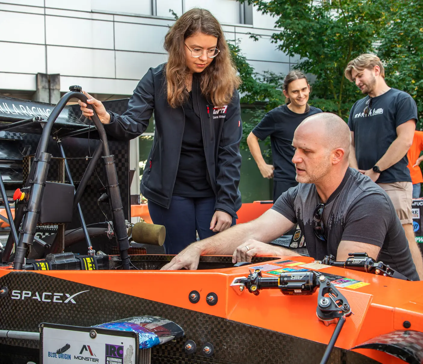
Find community in student clubs
Student clubs help you build community, gain hands-on experience, learn about research, and connect with industry professionals.
Beyond the Classroom
With our mentorship programs, industry partnerships, and career development resources, we empower students to thrive academically and build their skills, helping you kickstart a successful career in the exciting world of engineering.
MECOP
Many Oregon State students gain real-world experience through MECOP’s paid internships. Enhance your skills, network, and boost your career prospects.
Office of Undergraduate Research
You don't have to wait until grad school to engage in real-world research. Explore opportunities to work with faculty, solve problems, and make valuable connections.