

Geomatics
Civil and Construction Engineering
Faculty Research Area
The Geomatics Engineering program at Oregon State University is a leading center for research and education in geomatics applied to civil engineering and other fields.
Geomatics Engineering maintains close ties to programs in the College of Earth, Ocean & Atmospheric Sciences, the College of Forestry, and other College of Engineering programs such as AI and computer science. Geomatics faculty maintain active research programs supported by funding agencies such as the National Geodetic Survey, National Science Foundation, Oregon Department of Transportation, Transportation Research Board, and NASA.
Through a memorandum of understanding between Oregon State, Leica Geosystems, and Kuker Ranken, OSU has access to extensive, state-of-the-art research equipment and software, including Leica Cyclone Register 360, Cyclone 3DR, Infinity software, and Maptek Point Studio. In addition, Oregon State maintains licenses for a wide variety of geomatics applications for research needs and develops its own internal software for data processing.
Research Areas
- Geodesy and NSRS modernization
- 3D laser scanning / LiDAR
- Uncrewed Aircraft Systems photogrammetry
- Bathymetric mapping / hydrographic surveying
- Geographic Information Systems
- Geospatial hazard analysis and monitoring
- GPS / GNSS technology
- Cadastral surveys
- Geomatics computation, data management, and programming
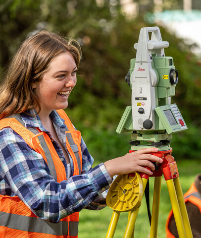
Facilities and Centers
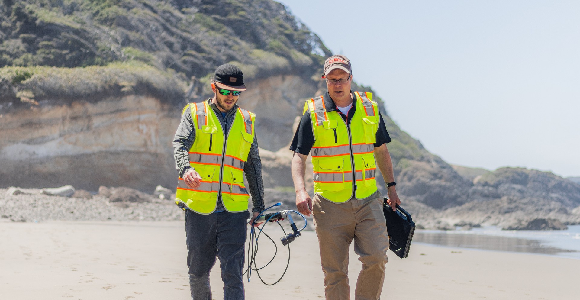
Geospatial Center for the Arctic and Pacific
GCAP enhances and extends the National Spatial Reference System, develops future leaders in geodesy and geospatial professions through new educational opportunities, and delivers broader impacts to society and the planet.
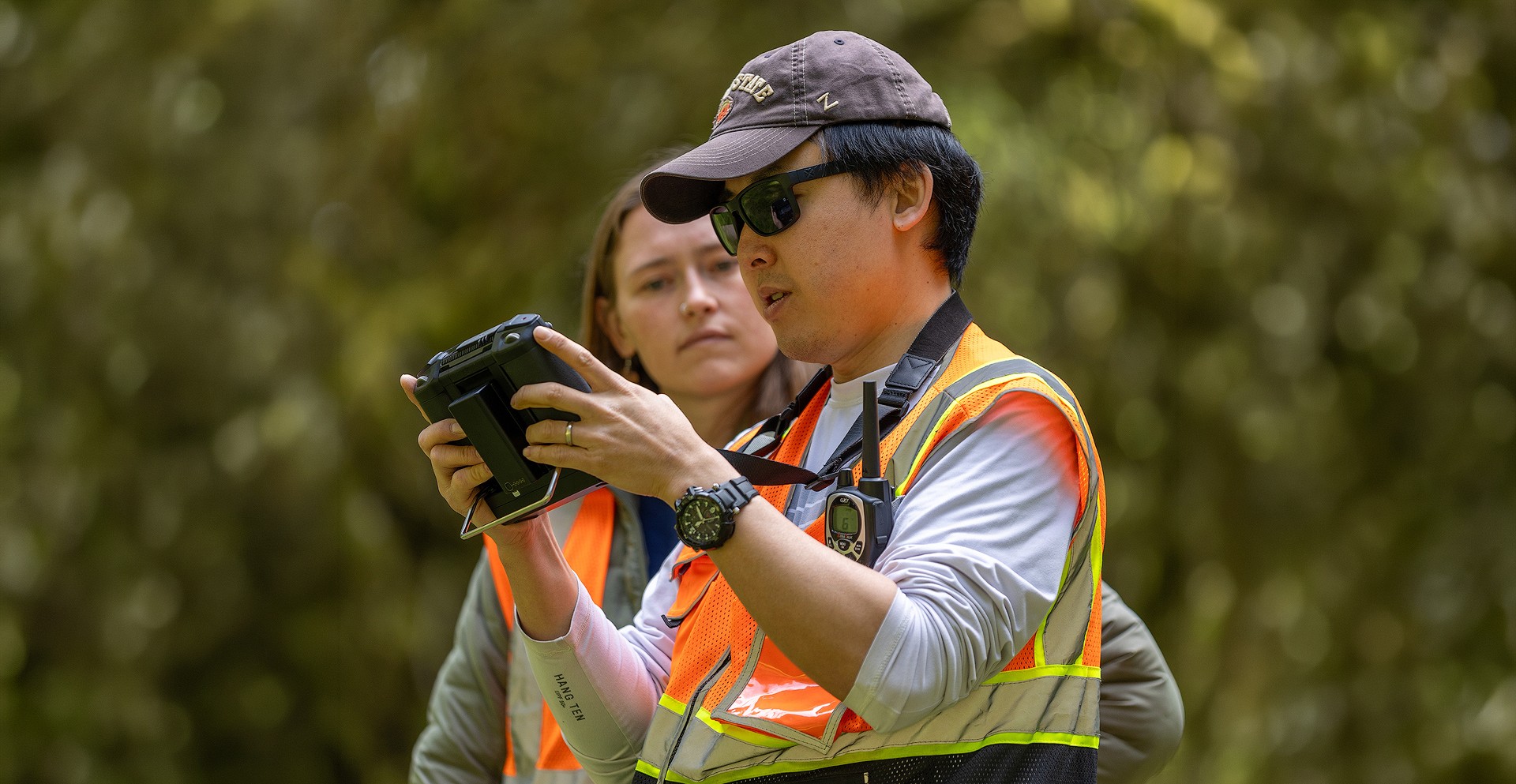
RAPID Facility
Oregon State participates in the NSF NHERI RAPID Facility, which provides researchers with state-of-the-art reconnaissance instrumentation and technical expertise to collect critical disaster data that informs science, engineering and policy to strengthen community resilience.
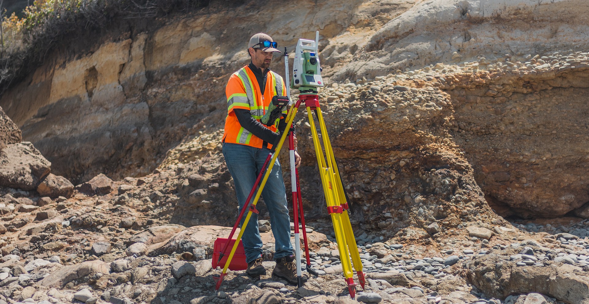
Cascadia Lifelines Program
The Cascadia Lifelines Program conducts research to help Oregon’s lifeline providers make value- and cost-informed decisions to mitigate damage to Pacific Northwest infrastructure from Cascadia subduction zone earthquakes.
Faculty


Tracy Arras
Senior Instructor II
Research Groups
Geomatics Research


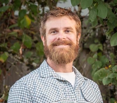

Michael Olsen
Professor | CH2M HILL Professor in Civil Engineering
Research Groups
Geomatics Research


Christopher Parrish
Professor
Additional Positions
Director, Geospatial Center for the Arctic and Pacific
christopher.parrish@oregonstate.edu
Research Groups
Geomatics Research

Heidar Rastiveis
Assistant Professor (Senior Research)
heidar.rastiveis@oregonstate.edu
Research Groups
Geomatics Research
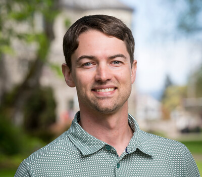
Chase Simpson
Assistant Professor of Practice | Jim and Billie Plasker Faculty Fellow in Geomatics
Research Groups
Geomatics Research

Yelda Turkan
Professor
Research Groups
Construction Research | Geomatics Research

Brian Weaver
Research Assistant Professor
Research Groups
Geomatics Research