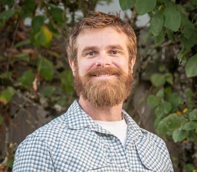
Brett Murphy
Covell Hall
Corvallis, OR 97331
United States
Brett Murphy is an instructor of Geomatics in the School of Civil and Construction Engineering at Oregon State University. He received a Bachelors of Science in GIS & Remote Sensing from Southern Illinois University, holds a Private Pilot's license, and is a licensed Professional Land Surveyor in Oregon. After several seasons working as a wildland firefighter, dogsled musher, botany technician, and various other wilderness based positions, he began his career in geomatics in 2012 working for an aerial remote sensing firm that operated throughout North and Central America. Eventually Brett moved into research and development in the Engineering Automation Section at the Oregon Department of Transportation involving lidar, automated machine guidance, photogrammetry, UAS, and traditional survey methods. After leaving ODOT Brett worked as a commercial drone pilot and land surveyor throughout western Oregon. Geomatics has taken him to nearly all 50 states and internationally, and Brett loves to share his enthusiasm for geomatics and the opportunities it provides.