Introduction
Oregon State University’s new maps of 30-year U.S. climate “normals” show the area east of the Rockies is getting wetter, the Southwest is getting drier, and temperatures are inching upward – with daily lows rising faster than daily highs.
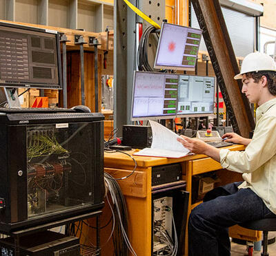
“When we publish the new normals every 10 years, we’re taking away one decade from a 30- year period and adding another, which means the changes we see are subtle,” said Chris Daly, professor of geospatial climatology and the founding director of Oregon State’s PRISM Climate Group.
PRISM, which stands for Parameter-elevation Regressions on Independent Slopes Model, was developed by Daly in 1991 when he was a Ph.D. student at Oregon State. The 30-year normals are the climate group’s signature product, with thousands of downloads each day from around the globe. “PRISM data sets are used by many government agencies including NOAA, the EPA, NASA, and the departments of Defense, Energy, and the Interior.” Daly said. “The private sector relies on PRISM data, too, with applications including agriculture, hydrology, engineering, ecology, and economics.”
For this latest update of the normals, Daly and colleagues made a big push to add new data sources from new weather station networks. PRISM added 9,000 precipitation stations, for a total of 26,600; 3,000 temperature stations, bringing the total to 19,500; 2,400 dew point stations, for a total of 6,400; and 2,800 vapor pressure deficit stations, increasing that total to 6,400.
Solar radiation was added for the first time, thanks to a three-year collaboration with David Rupp of Oregon State’s College of Earth, Ocean, and Atmospheric Sciences.
While PRISM uses many data sources, Daly points out that one of the beauties of the state-of- the-art algorithm is that it allows for filling in information gaps.
“We can interpolate where we have no weather stations; PRISM accounts for how the Earth’s features affect the spatial patterns of climate on the landscape,” he said. “We have programmed in mountains, valleys, rain shadows, coastlines, and water body sources, so we can make pretty accurate estimates on what average conditions are like across the lower 48. Our maps feature tens of millions of grid cells-half-mile by half-mile squares.”
While the 30-year-normals are PRISM’s trademark product, the group also has monthly climate maps of the same resolution back to 1895 and daily maps dating to 1981; those maps incorporate the same variables as the normals, whose information is ubiquitous in climate science.
“Anytime you see a detailed map showing percentage of average or deviation from average, most likely PRISM normals are underlying that calculation,” Daly said.